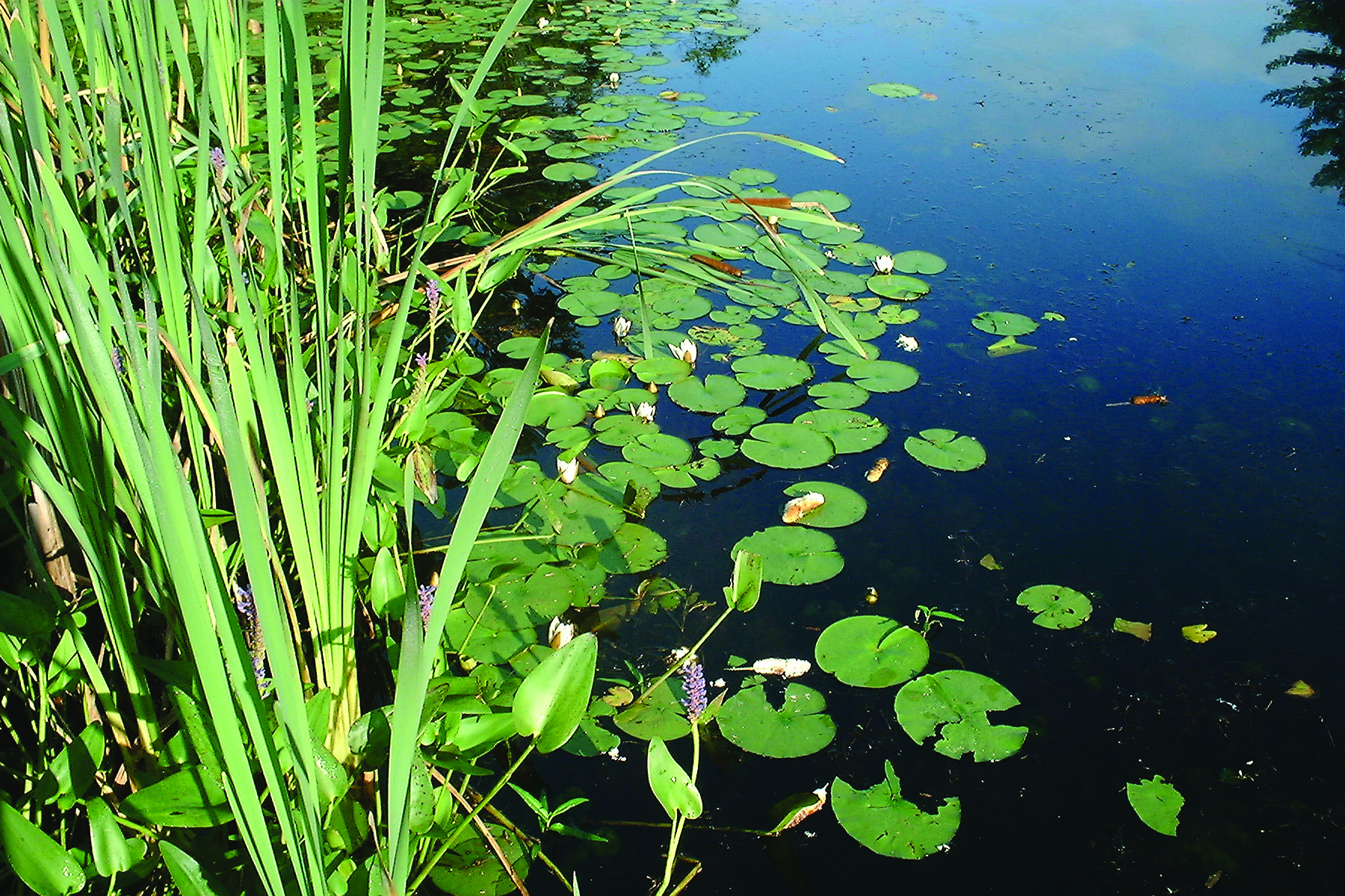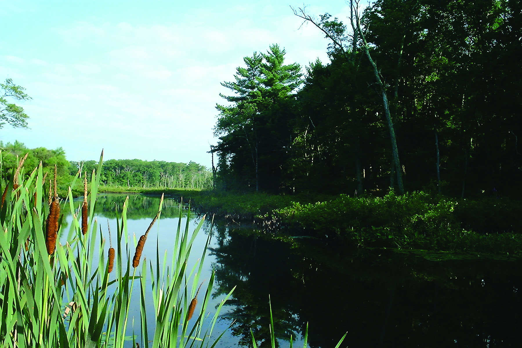
Barbara Churchill Conservation Area
In December 1985 Thomas G. and Celeste Churchill granted the CCT 5.12 acres of land which is now largely under water. It is marked by a large CCT sign high in a tree beside the Bound Brook fish ladder and bridge on Beechwood Street.
Provides habitat for birds, waterfowl, fish and other wildlife.